written by you sakana.
香川大学、地質・地形の専門家、長谷川修一先生と宇多津の大束川(だいそくがわ)の上流、讃岐富士・飯山(いいのやま)の南側をフィールドワークさせていただきました!北から南に逆流する川の謎、台地を貫通して通されている水の道、かつて土器川が流れていた痕跡、「飯依比古(いいよりひこ)」を祀られた古代の米どころの秘密、古墳が御神体の讃留霊王(さるれお)神社などを巡りました。
2024年9月5日(木)撮影
We had the opportunity to embark on a geo-exploration fieldwork along the upper reaches of the Daisoku River in Utazu, led by Professor Shuichi Hasegawa, a geologist and geomorphologist from Kagawa University.
Our journey took us to the southern slopes of Sanuki Fuji (Mount Iino, 飯野山) and the Iinoyama region, where we examined:
- The mystery of the north-to-south “reversed flow” of the Daisoku River
- Man-made waterways cutting through elevated terrain
- Traces of the ancient Doki River’s former path
- Iiyori-hiko, the rice deity of the region
- Saru-re-ō Shrine, built around an ancient burial mound
Fieldwork Date: September 5, 2024
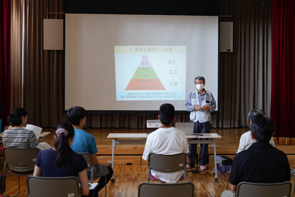
まずは、座学で食文化と地質の関係を考える「ジオ・ガストロノミー」などについて講義していただきました。ジオ(大地)の上に、エコ(植生や動物)があり、その上に私たち人間の産業や文化が成り立っています。つまり、ジオのストーリーを読み解くと「なぜ香川県はうどん県なのか?」など、なぜこの土地で、この食材がつくられているのかなどがよくわかります。
Understanding the Land: Geo-Gastronomy & the Story of Sanuki’s Food
Before heading into the field, we attended a lecture on “Geo-Gastronomy”, an approach that connects geology with food culture.
“Geo” (land) supports eco (plants & animals), which in turn sustains human industries and culture.
By understanding the geological story of a region, we can answer questions like:
Why is Kagawa the “Udon Prefecture”?
Why are certain ingredients grown in specific areas?
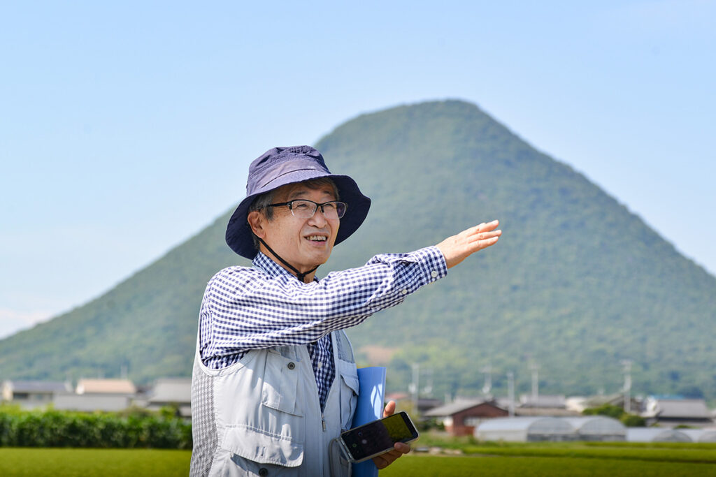
NHKブラタモリでもおなじみ、地質・地形や防災の専門家、香川大学 長谷川 修一先生にご案内いただきました。
NHK “Buratamori” regular guest & disaster prevention expert, Professor Shuichi Hasegawa, guided us through these fascinating connections.
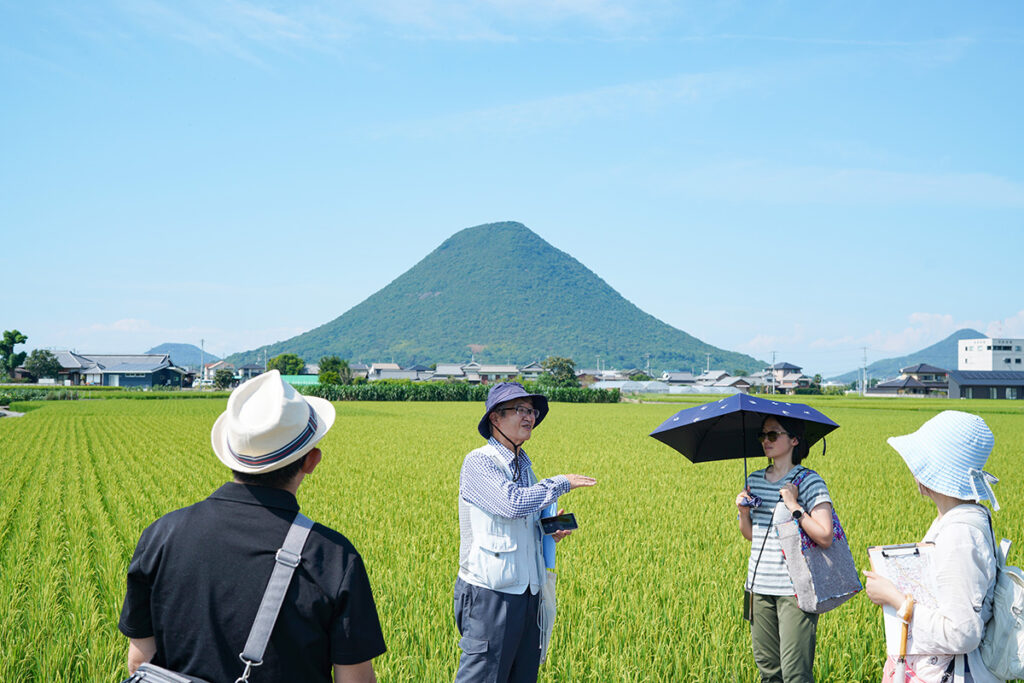
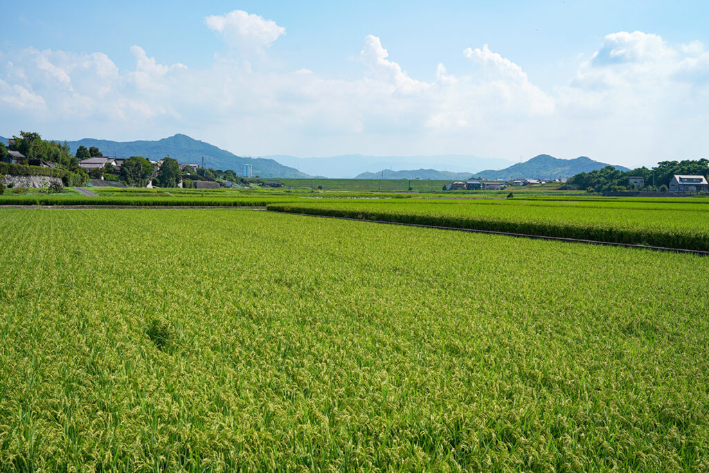
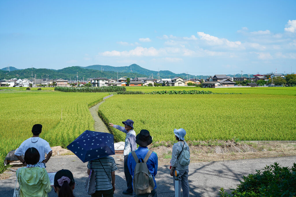
講義の後、宇多津を流れる大束川(だいそくがわ)から上流に8kmほど、香川県丸亀市下法軍寺(しもほうぐんじ)あたりにきました。向こうに見えるのは、讃岐富士こと飯野山(いいのやま / 標高:422m)です。
Exploring the Upper Daisoku River & the Rice Fields of Iinoyama
Our fieldwork began 8 km upstream from the Daisoku River, near Shimo-Hōgunji, Marugame City.
In the distance stood Mount Iino (讃岐富士 / Sanuki Fuji, 422m), a landmark in the region.
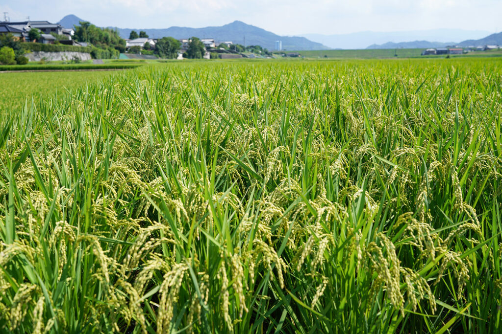
飯野山(いいのやま)という名前のとおりこのあたりは米どころ。丸亀平野は土器川の扇状地で水はけがよく雨も少ないので米より小麦栽培に適しており、讃岐うどんに適した土地です。しかしこのあたり、飯野山の南にある飯山南地区は昔から水田地帯。古事記には、讃岐国が飯依比古(イイヨリヒコ)と記され、飯野山にある飯神社には飯依比古命が祀られおり、その名前から飯山南地区は古代から米どころであったことがうかがえます。
Why is Iinoyama a Rice-Producing Region?
- The Marugame Plain, a fan-shaped delta of the ancient Doki River, has well-draining soil and little rainfall—ideal for wheat, the foundation of Sanuki Udon.
- However, Iinoyama Southhas been a rice-growing region since ancient times.
Clues from Ancient Texts
- In the Kojiki, Sanuki Provinceis associated with Iiyori-hiko (飯依比古), a deity linked to rice cultivation.
- The Iijinja Shrine (飯神社)at Mount Iino enshrines Iiyori-hiko-no-Mikoto, reinforcing the area’s deep historical ties to rice farming.
2kmほど南にある大窪池。西側の仁池とともに岡田台地の谷部を利用したため池です。1645年の干ばつを契機に、1647年(正保4年)に、高松藩主・松平頼重(まつだいらよりしげ)の命で矢延兵六(やのべへいろく)によって築かれました。
Man-Made Reservoirs: The Survival of Rice Farming
We then visited Ōkubo Pond (大窪池), a reservoir built to support rice cultivation.
- Built in 1647under Matsudaira Yorishige, the first Takamatsu domain lord.
- Engineered by Yanobe Heiroku, following a devastating drought in 1645.
- Located in a valley of the Okada Plateau, utilizing natural terrain for water storage.
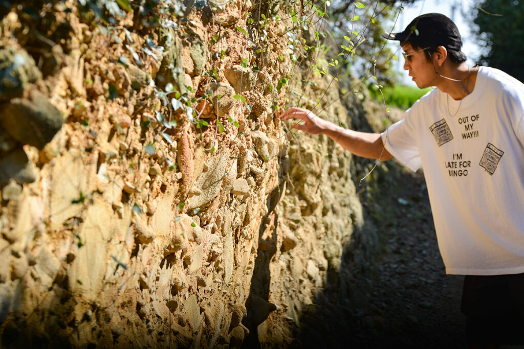
岡田台地の礫層。岡田台地は、5kmほど南にある打越池(うちこしいけ)の南方から、かつて流れてきた旧土器川が作った扇状地です。古い時代の扇状地の砂岩礫層は風化してもろくなっています。飯山南地区の南側に位置する岡田台地は香川県丸亀市飯山町から綾歌町にかけての土器川右岸に広がる段丘で、10万年以上前の土器川の扇状地です。
The Ancient Doki River’s Impact
- The Okada Plateauwas formed by an ancient course of the Doki River, over 100,000 years ago.
- Eroded sandstone & gravel layersmake it a fragile landform
This explains why reservoirs were essential for sustaining rice cultivation in the area.

丸亀平野の断層地形。岡田断層、上法軍寺断層模式断面図。(讃岐ジオパーク構想推進準備委員会より)
Fault Lines & the Changing Landscape
At the Marugame Plain, we examined geological fault lines:
- Okada Fault (岡田断層)
- Kami-Hōgunji Fault (上法軍寺断層)
These fault lines have shaped the region’s landscapes, affecting water flow and land use.
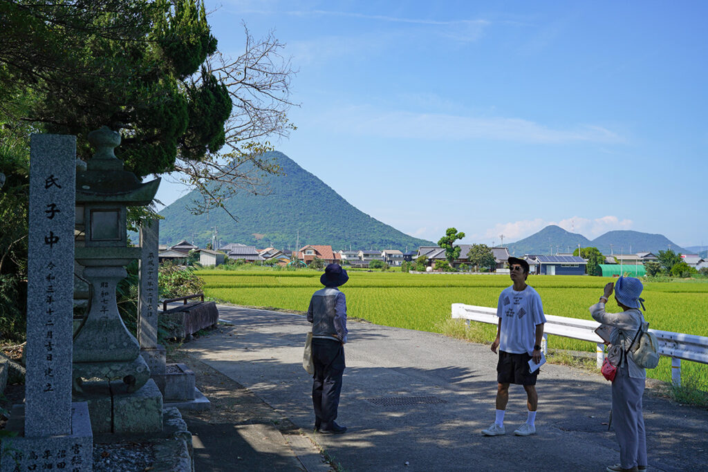
讃留霊王(さるれおう)神社に到着しました。
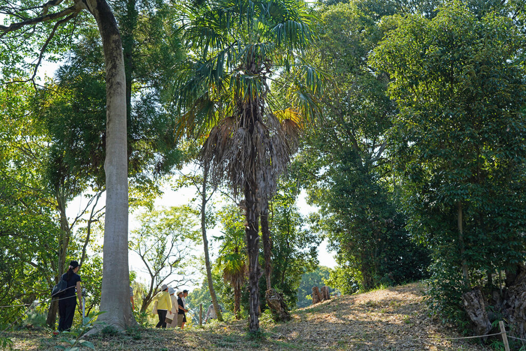
神社境内の前方後円墳が御神体で、讃留霊王(さるれお / 武殻王:タケカイコオウ)が、祀られています。
Saru-re-ō Shrine: A Sacred Site Built on a Burial Mound
Next, we visited Saru-re-ō Shrine (讃留霊王神社), where the shrine itself is built upon an ancient burial mound (kofun, 前方後円墳).
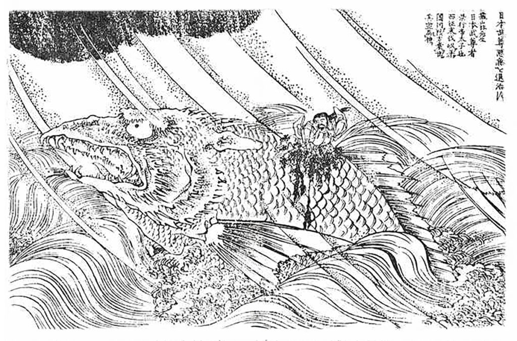
浦川公佐画『金毘羅参詣名所圖会』より「日本武尊悪魚を退治す」
讃留霊王は、香川県坂出市福江町で悪魚退治をしたという伝説が残っており、日本武尊(ヤマトタケルノミコト)の息子として知られています。また、宇多津町にある宇夫階神社(うぶしなじんじゃ)には、讃留霊王が国内を巡行したとき小烏(こがらす)が道案内をし、嵐を免れたという伝承が残っております。
Who Was Saru-re-ō?
- Also known as Takekaiko-ō (武殻王).
- Son of Yamato Takeru, a legendary figure in Japanese mythology.
- Said to have slain a monstrous fishin Sakaide’s Fukuemachi.
Legend: While traveling through Utazu, Saru-re-ō was guided by a small crow (kogarasu, 小烏), helping him avoid a storm. This story is still told at Ubushina Shrine (宇夫階神社) in Utazu.
Architectural Features
- Torii gate(granite, 1830 inscription)
- Main hall (honden)(registered as a National Tangible Cultural Property, 2018)
- Edo-period stone fencesurrounding the shrine
The shrine’s location on a burial mound suggests a strong connection between ancient rulers and local religious practices.
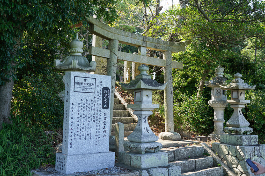
讃留霊王(さるれお)神社、別名、讃王(さんのう)さん。
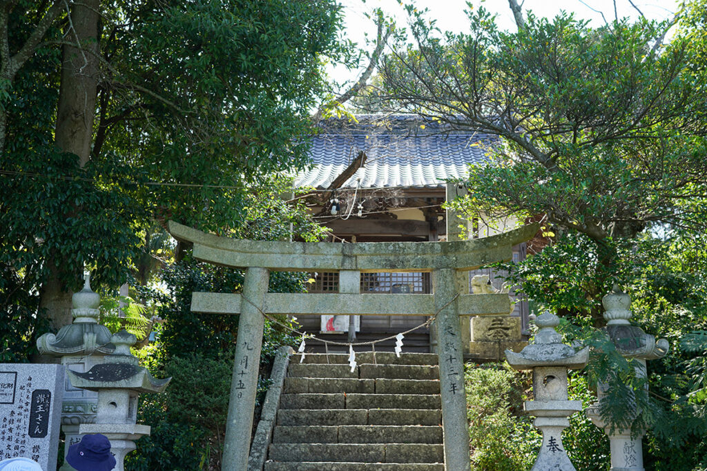
「文政十三年」(1830年)と刻印された花崗岩製の鳥居。石造明神鳥居。間口2.2m、柱をやや内転びで立て、島木と反りの強い笠木で結んでいます。『国の登録有形文化財(建造物)』
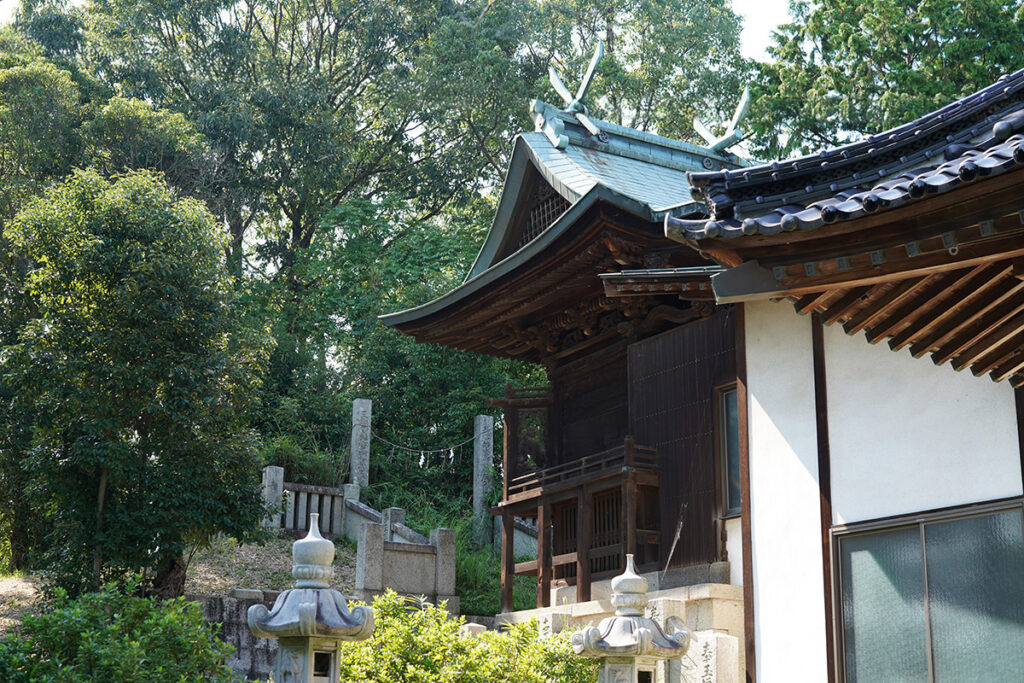
国の登録有形文化財(建造物)。正面だけでなく背面側にも桟唐戸を設けている入母屋造平入、檜皮葺(銅板仮葺)の一間社の幣殿はともに2018年に『国の有形文化財(建造物)』に登録されています。
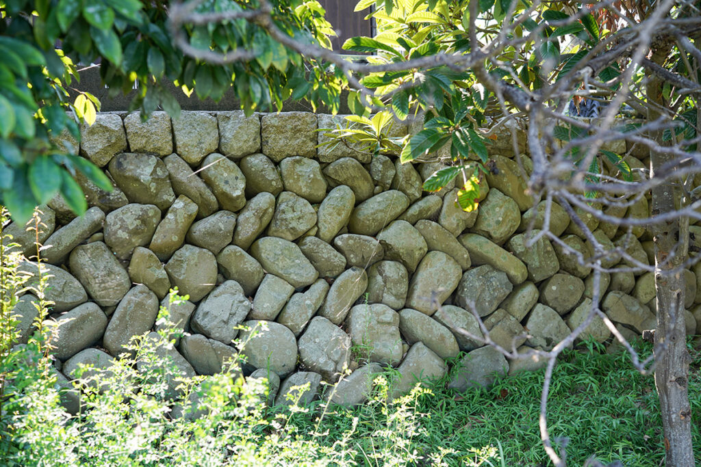
讃留霊王神社の江戸時代に作られた花崗岩製の玉垣。
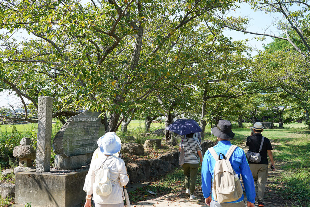
神社の北側に法勲寺(ほうくんじ)跡があります。
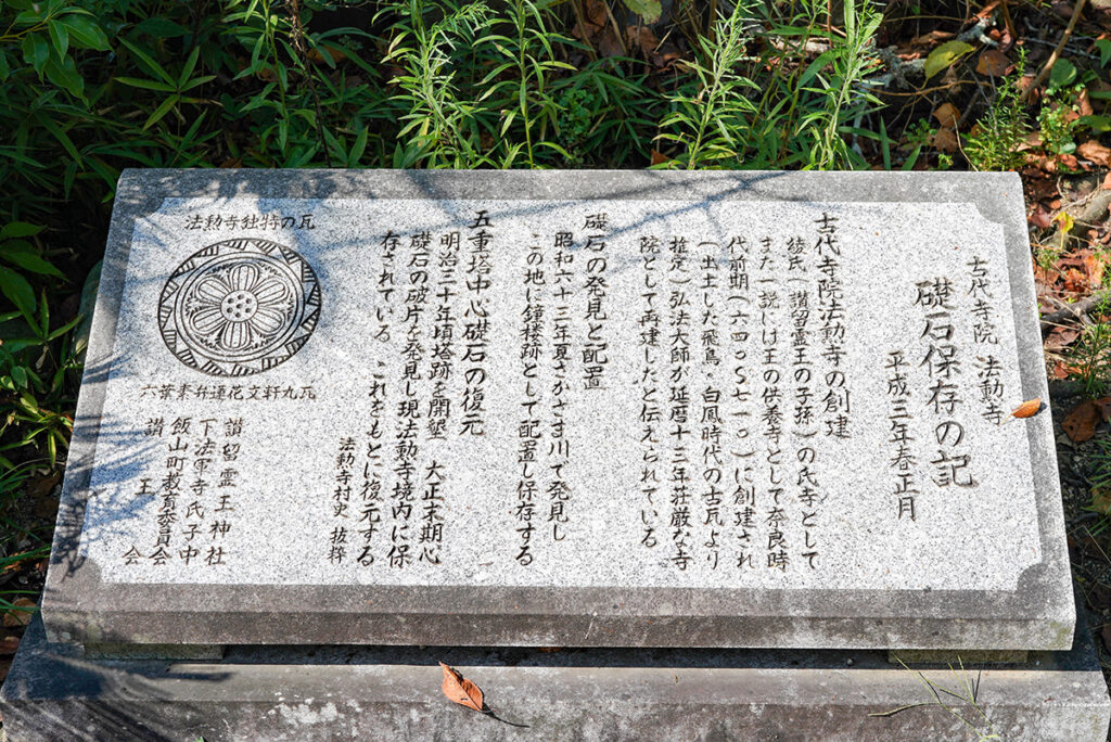
古代寺院、法勲寺(ほうくんじ)。礎石保存の記。
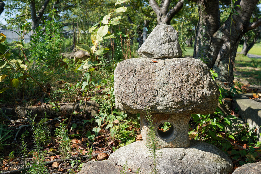
讃留霊王神社の北側には、法勲寺跡から掘り出された花崗岩の礎石が並べられています。
讃留霊王神社の東側の低地には奈良時代前期(645年-710年)に創建された法軍寺跡があり、いまは田んぼが広がっています。
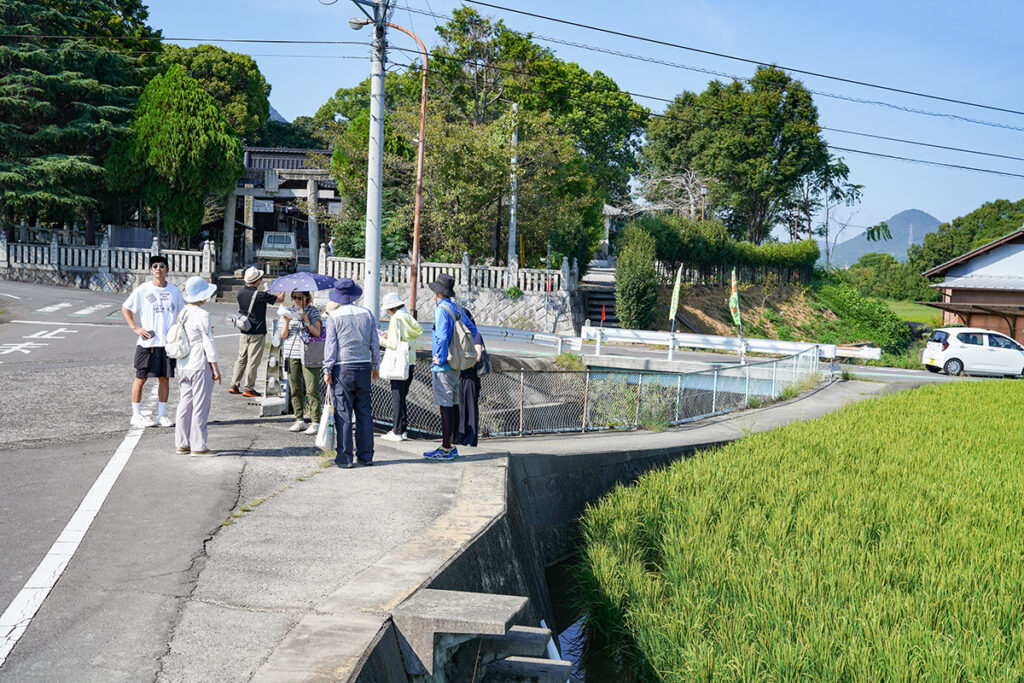
八坂神社の南側付近。段丘を開削して大束川が流れていることがわかる場所です。八坂神社の南では、岡田台地(段丘)を開削して、大束川が流れています。この開削区間は人工的な水路です。現在、農地に供給されている水源の1つである大束川は、岡田台地の北西端を開削して法軍寺跡に流れ込んでいます。
Traces of Ancient Temples & the “Reversed River”
We also explored the ruins of Hōkun-ji Temple (法勲寺跡):
- Originally built in the Nara period (645–710).
- The area is now rice fields, but granite foundation stones remain.
man-made river channel, where the Daisoku River cuts through the Okada Plateau—an artificially dug waterway designed for irrigation.
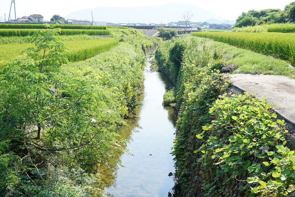
段丘を開削して流れてくる大束川、南西方向の上流。
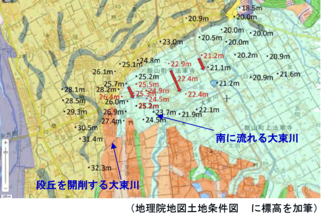
段丘を開削する大束川。地理院地図土地条件図に標高を加筆。(讃岐ジオパーク構想推進準備委員会より)
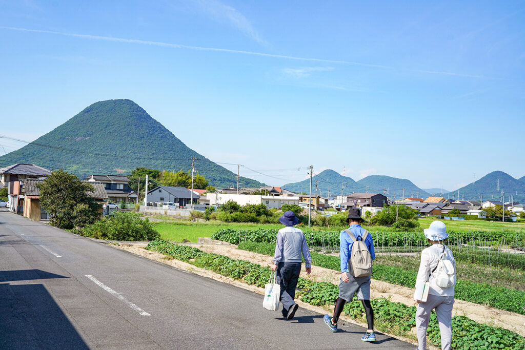
僅かな地形の変化を探りながら周辺を散策します。写真右側が低地になっていて、農地として利用されているのがわかります。
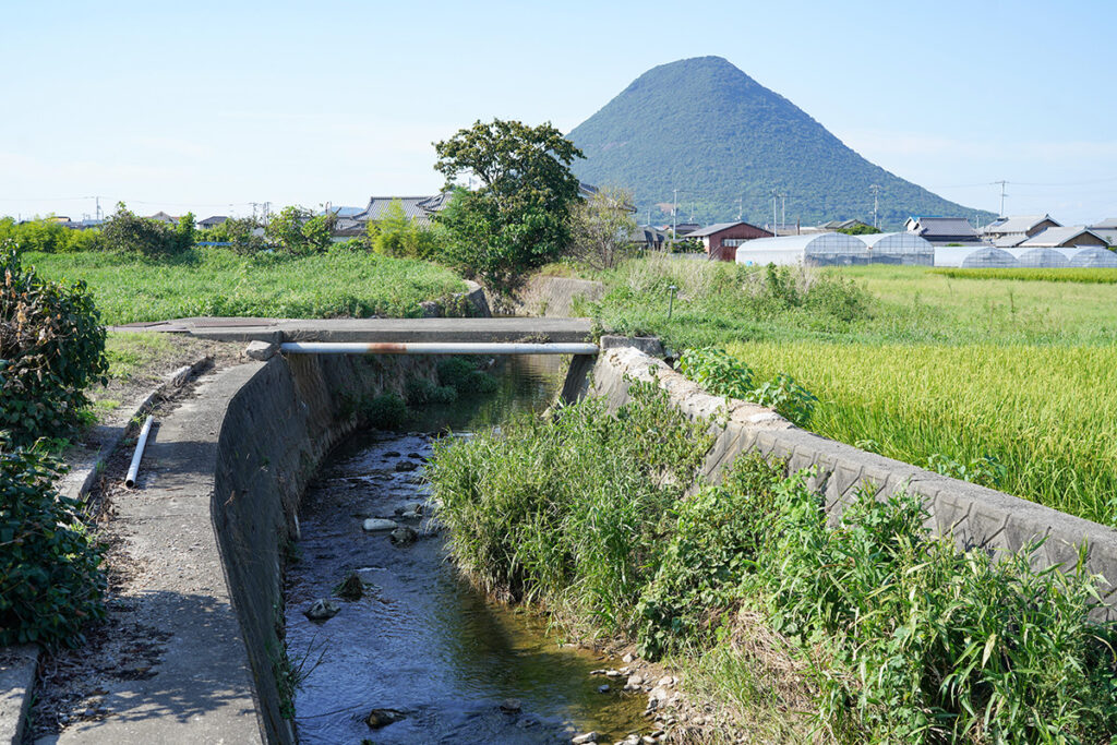
逆さま川。大束川は飯野山の更に向こう側の北側にある瀬戸内海に注いでいます。しかし、飯野山が見えている北側のほうが低いはずなのに一部分だけ逆方向、北から南にむかって川が流れています。これは古代にこの土地を改良して川を流した痕跡。古代寺院法勲寺を囲むように流れ、地元では地形に逆らったように南に流れる区間を「逆さま川」と呼んでいます。
The Mystery of the “Reversed River”
A fascinating anomaly occurs along the Daisoku River’s flow.
Although the river should flow north into the Seto Inland Sea, part of it flows south!
Why?
- The land was modified in ancient timesto redirect water for rice farming.
- The river encircles Hōkun-ji Temple ruins, reinforcing the area’s importance in early settlement patterns.
- This section is locally called “Sakasama-gawa” (逆さま川, “Upside-Down River”).
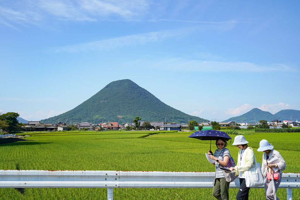
飯野山(いいのやま)の南側に広がる美しい田園風景。宇多津町を流れる大束川の上流の米どころは、地形や地質を利用し古代から人々の営みが作り出した風景ということが、今回のフィールドワークを通じてわかりました。普段見慣れた風景も地質や地形を読み解くと、新しい発見があります。
Final Thoughts: Seeing the Landscape Through a Geological Lens
As we concluded our journey, we took in the stunning rice fields stretching beneath Mount Iino.
What we learned:
- This picturesque landscape is not purely natural—it has been shaped by human interventionfor thousands of years.
- Understanding geology helps us appreciate how people adapted to their environment, building reservoirs, diverting rivers, and cultivating rice where possible.
- Even everyday scenery holds hidden storieswhen viewed through a geo-historical perspective.
The land tells a story—if we know how to read it.